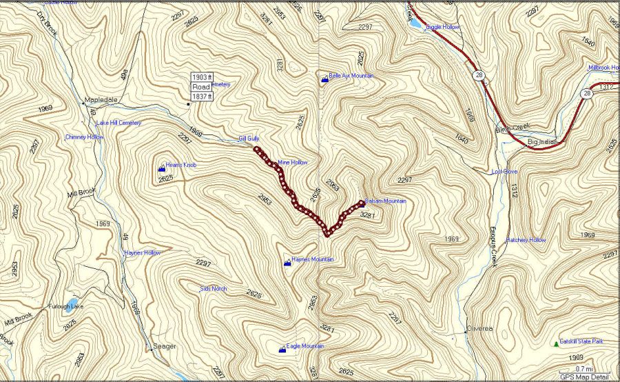
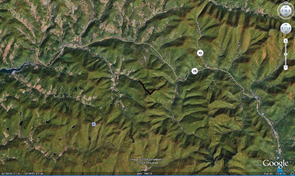
Balsam
12/27/2008
top of Balsam
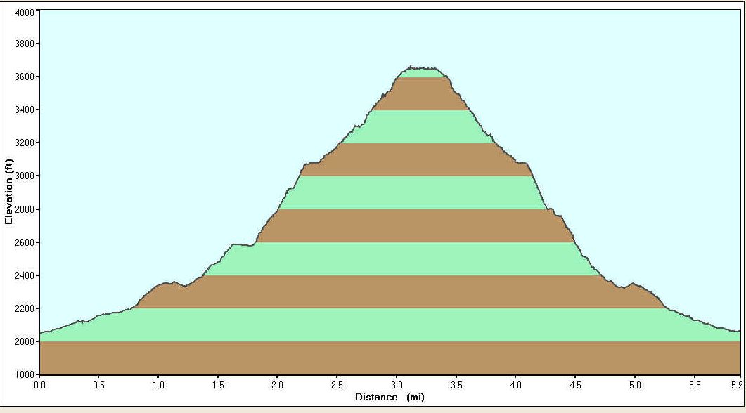
Distance- 5.9 miles Elevation gain- 1602
feet
Time- 4:08 Ave speed- 1.43 mph
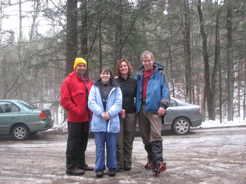
Danielle, Crom, Murray, and Donna
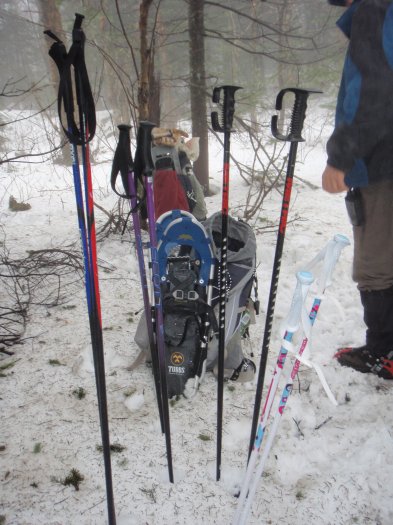
GPS stuff
Hike:
Start 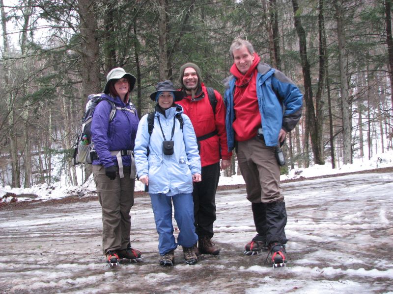
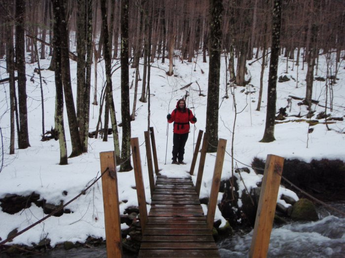
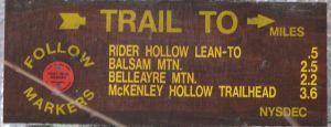
on the trail 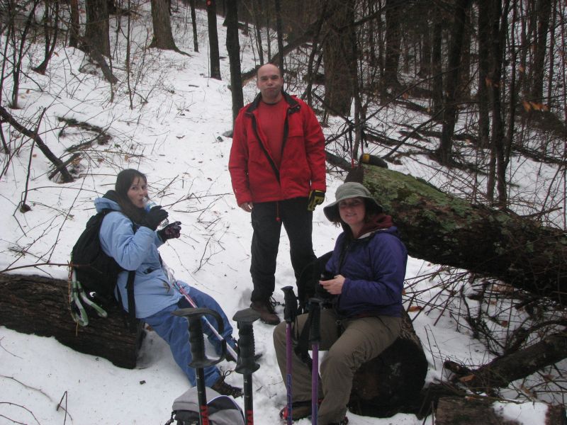
This is looking a little lost, but we were right on track at the top of the
ridge 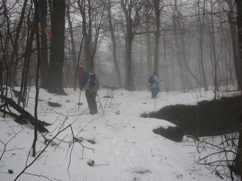
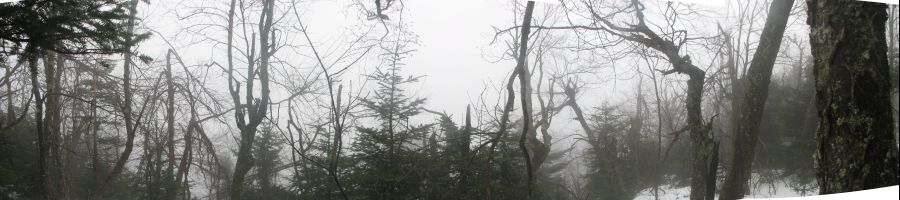
On the top 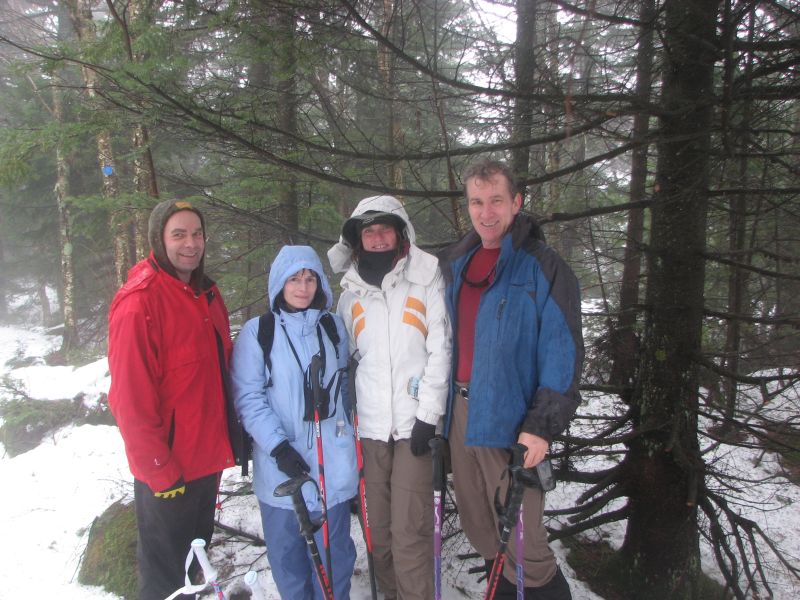
then a easy cruise down 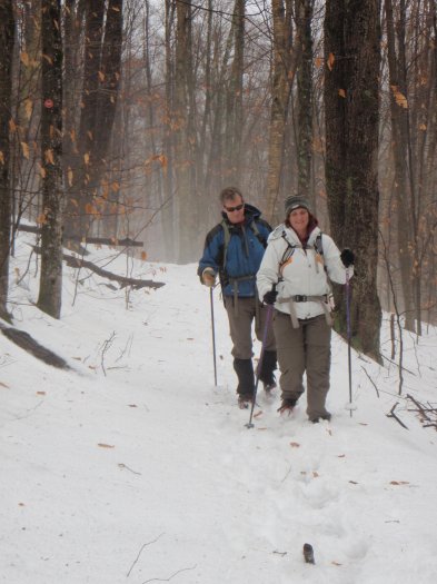
The end