view on the way up North Dome
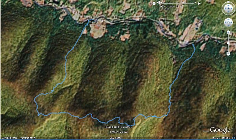
North Dome and Sherrill 08/10/2008
we started on this trail for 1 mile then it was a bushwhack
![]()
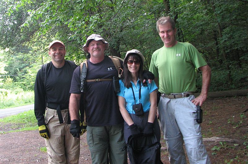
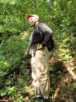
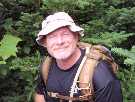
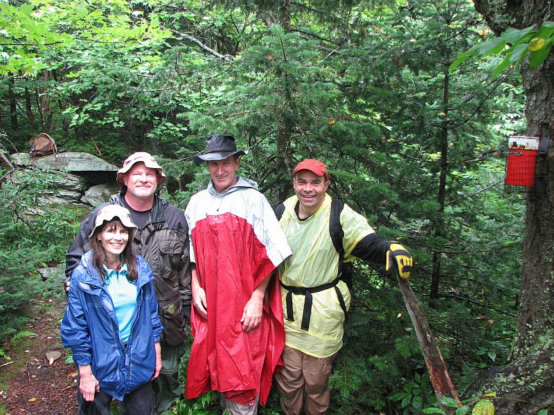
Murray. Steve, Donna and
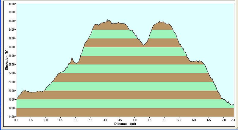
me. We hiked 7.3
miles in seven hours and 25 minutes for a average of .98 MPH
The accent to North Dome was 1821 feet, Sherrill 531 feet for a
total accent of 2486 feet (not counting 134 feet extra for me and Steve
looking for my lost GPS.)
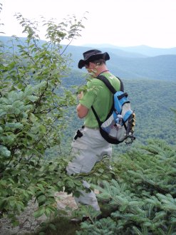
Break on the way up 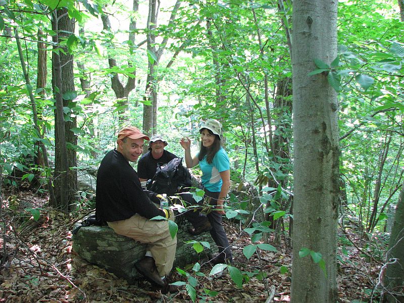
a neat tree 
Mur (this is also where I lost my GPS unit) 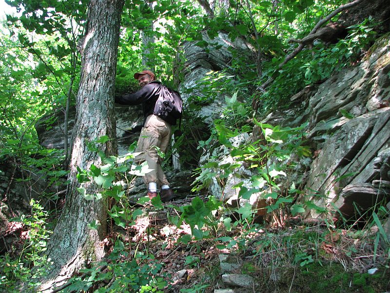
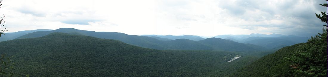
This is the same place as the panoramic shot 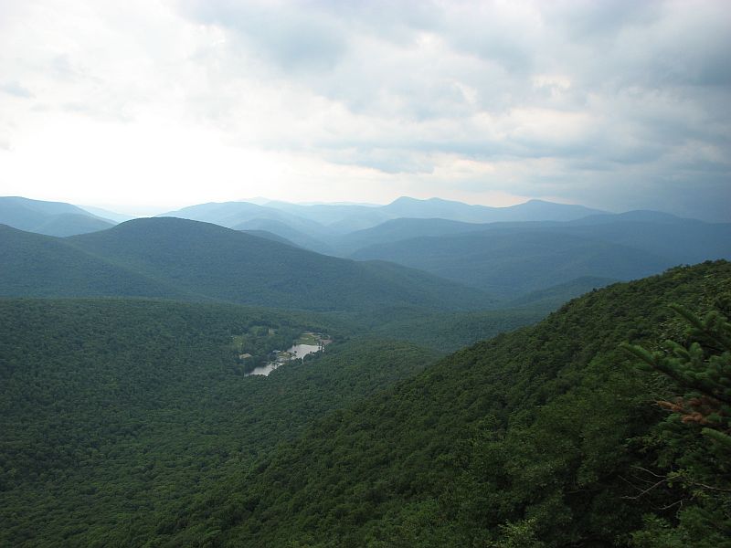
and the thing in the middle is? 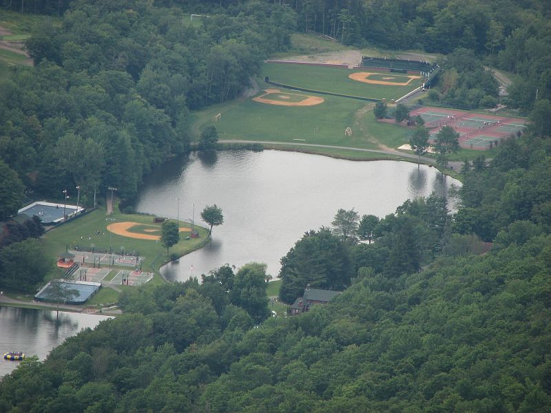
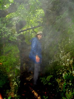
A thunder storm came in quickly when we were on North Dome, so we did not
have time for pictures, this is the top op Sherrill
then back by the road 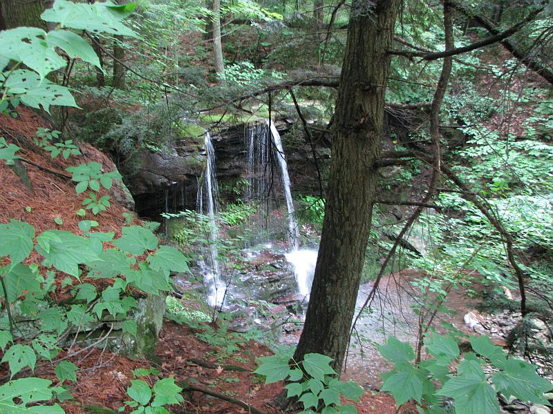
and the end 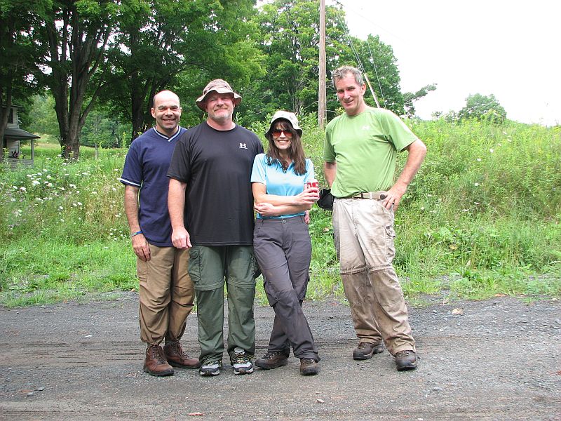
Donna’s Pic’s