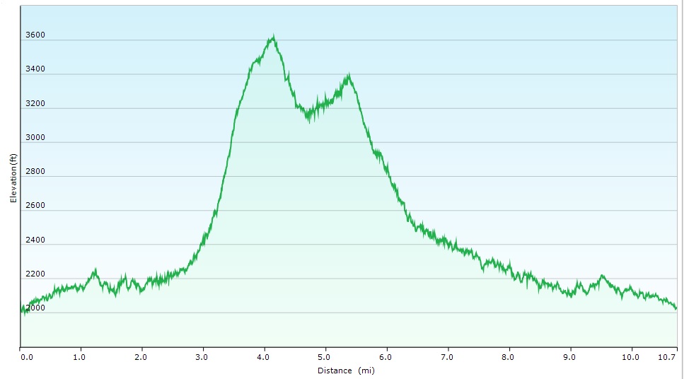
Steve only has one more hike for the patch after doing these! We should have left a bit earlier as we came out in the dark. The early sunset because of the time change caught us off guard. The 8 hour 17 minute bushwhack was 10.7 miles, we averaged 1.30 MPH with a elevation gain of about 1800 feet. I tried a different view of the track here https://www.youtube.com/watch?v=TZUKAH0ivfs&feature=youtu.behttps://www.youtube.com/watch?v=TZUKAH0ivfs&feature=youtu.be
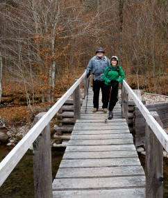
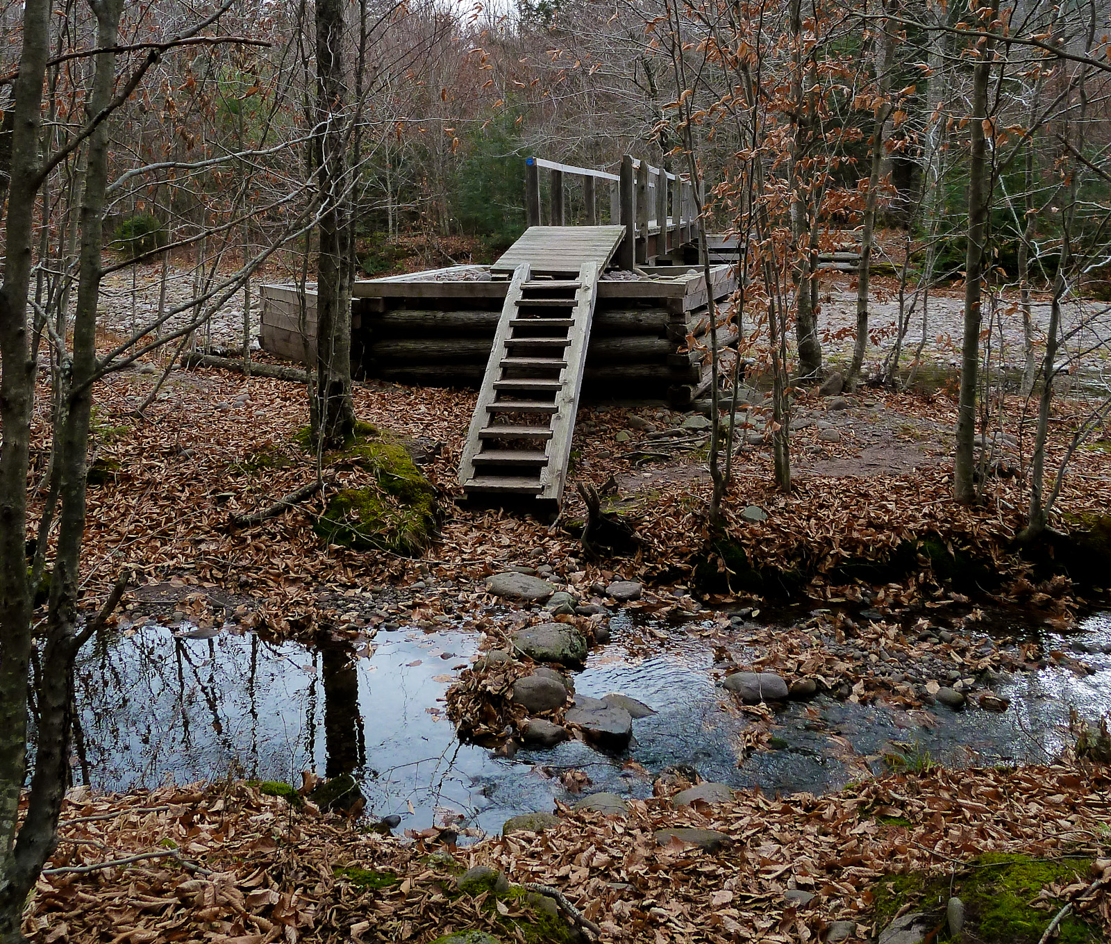
The First bridge 
 After the
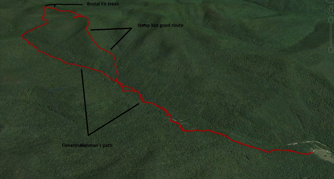
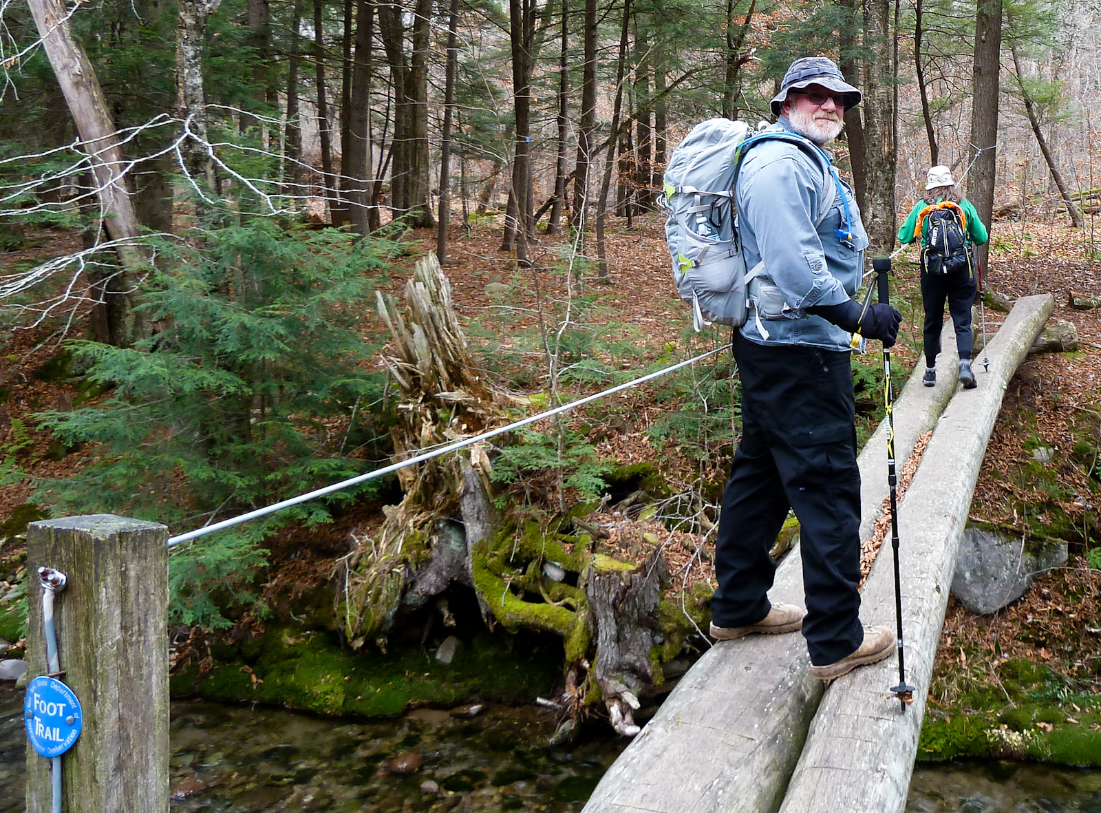 second bridge take a left and start following the Fisherman’s trail. The trail was easy to lose, but just head back to the river and you will find it again
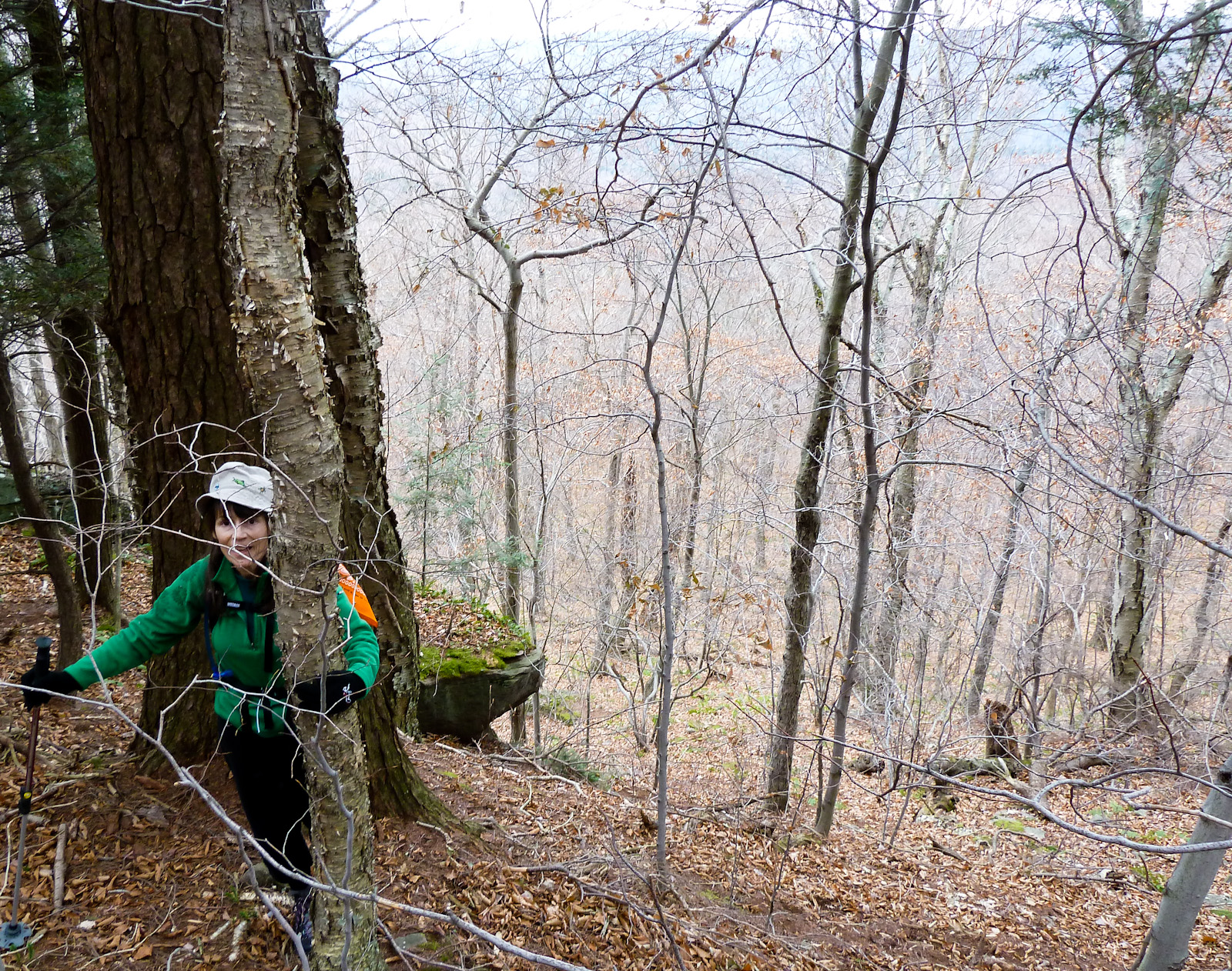
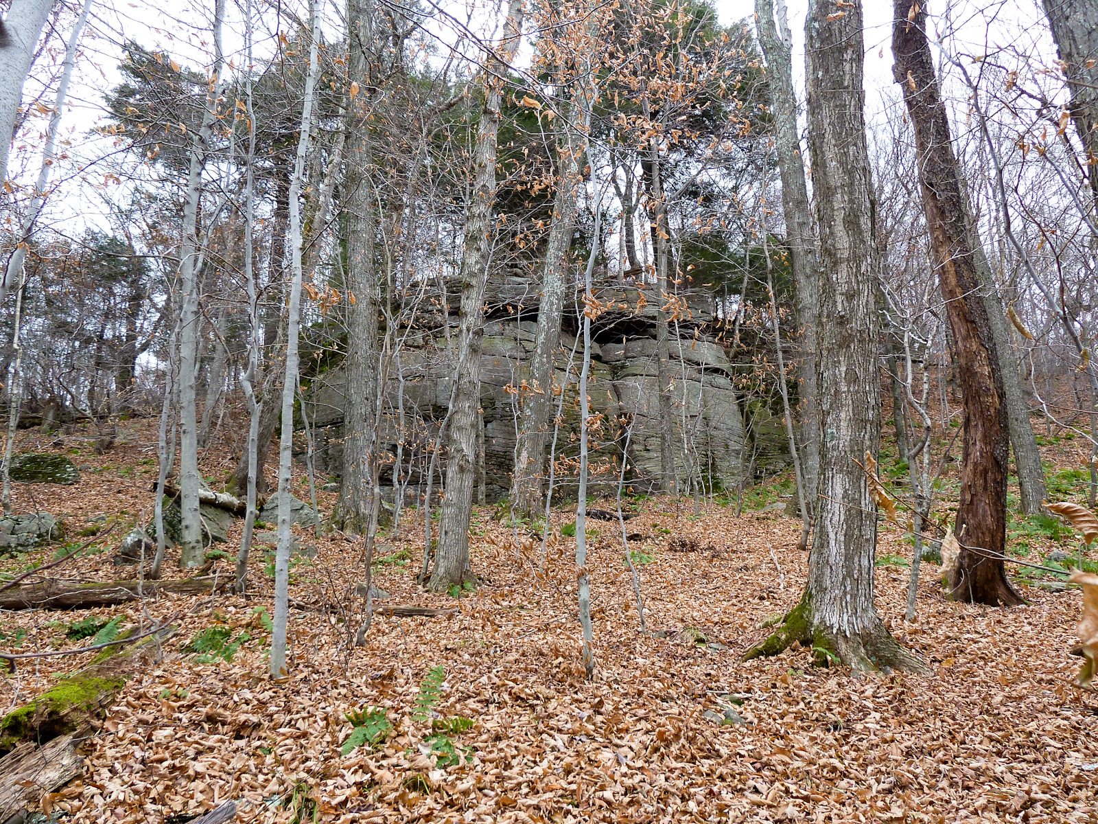 Top of lone
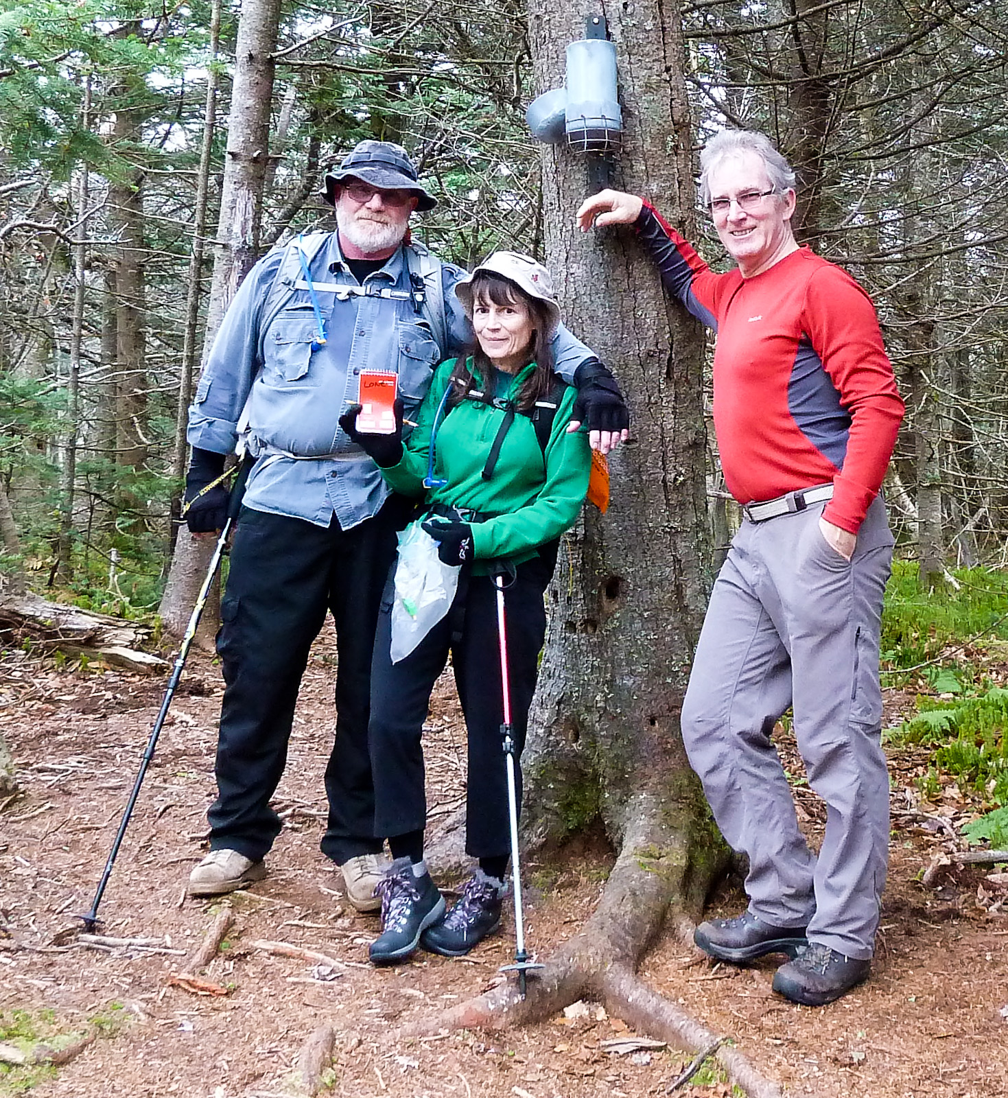
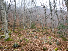
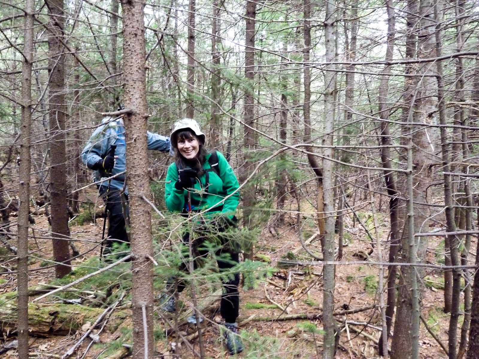 The trip to Rocky was brutal towards the end because of the dense fir trees. We found heading towards the taller trees made the going a bit easier, but it was tough going until we found the herd path near the top.
 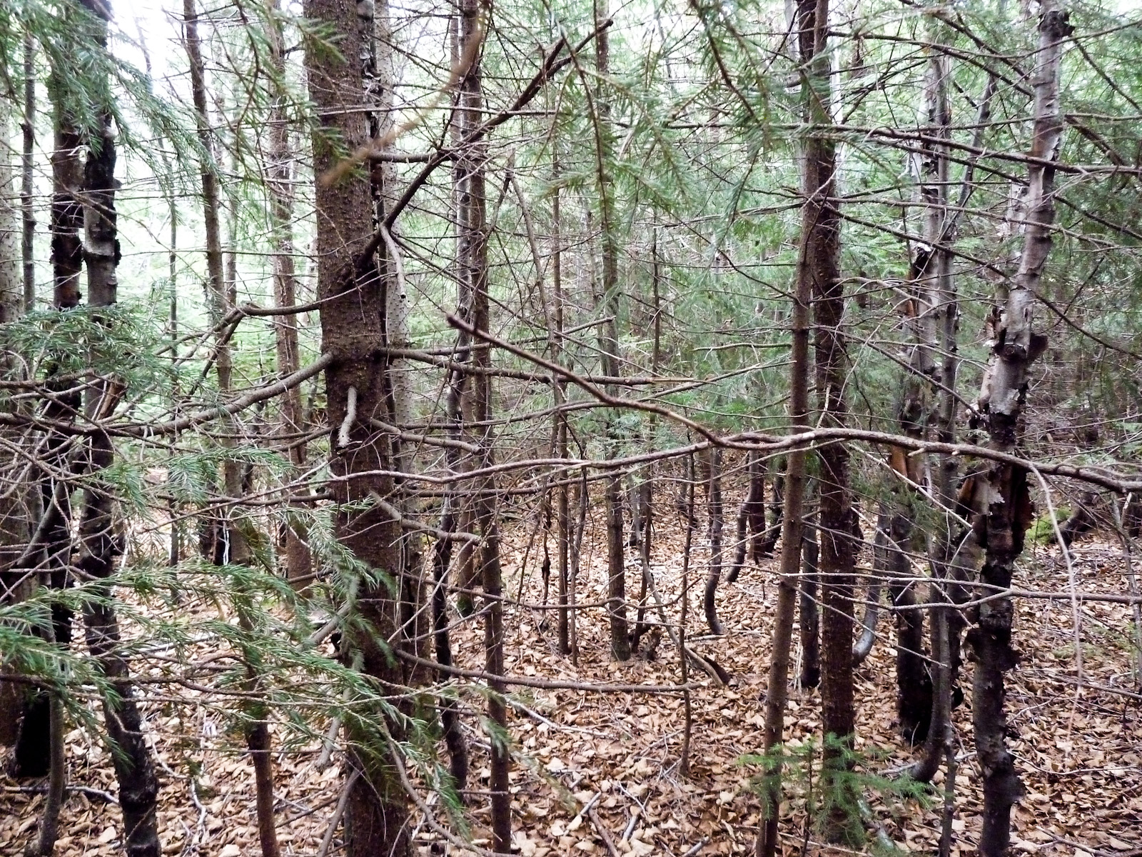 Top of Rocky
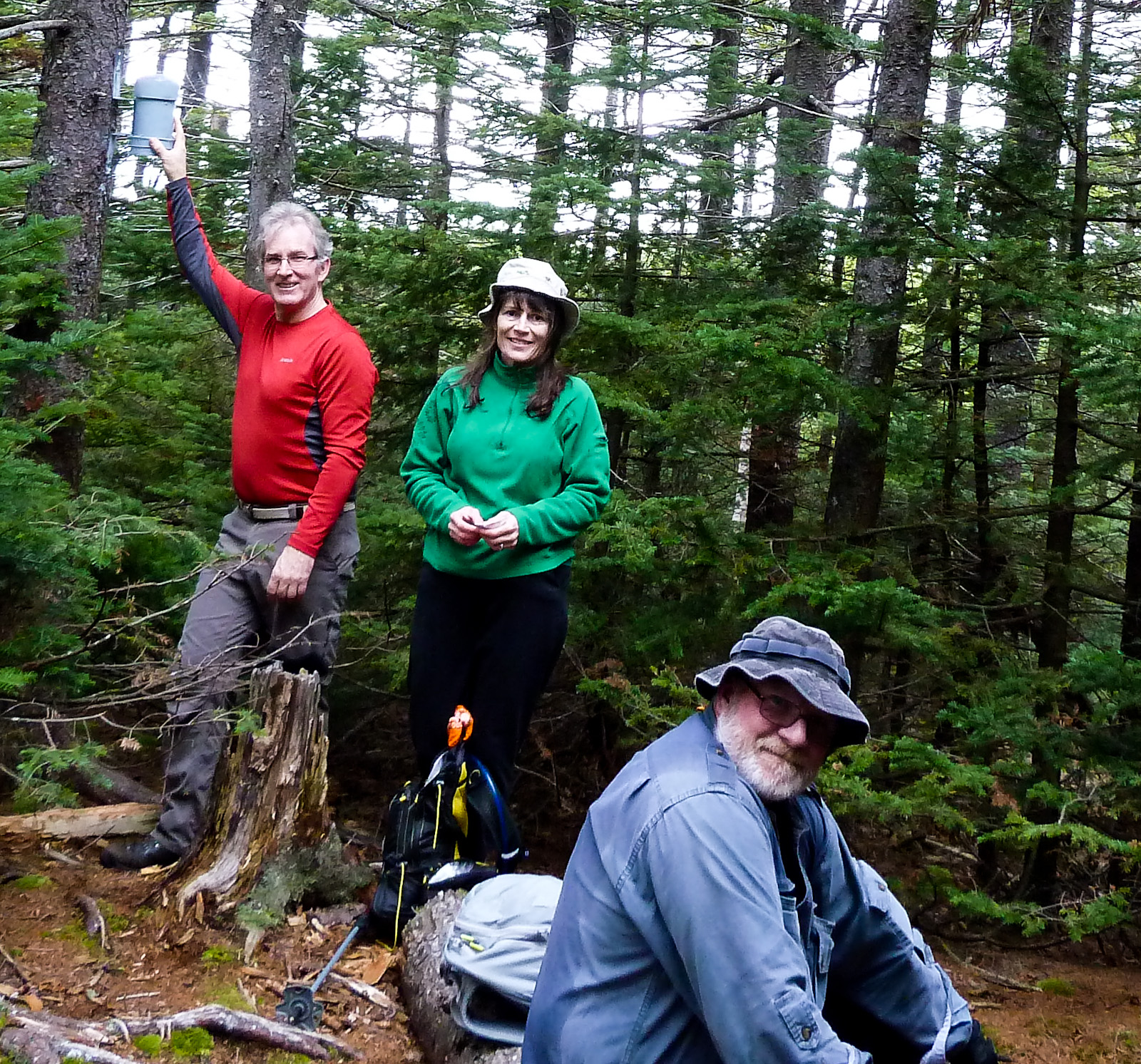
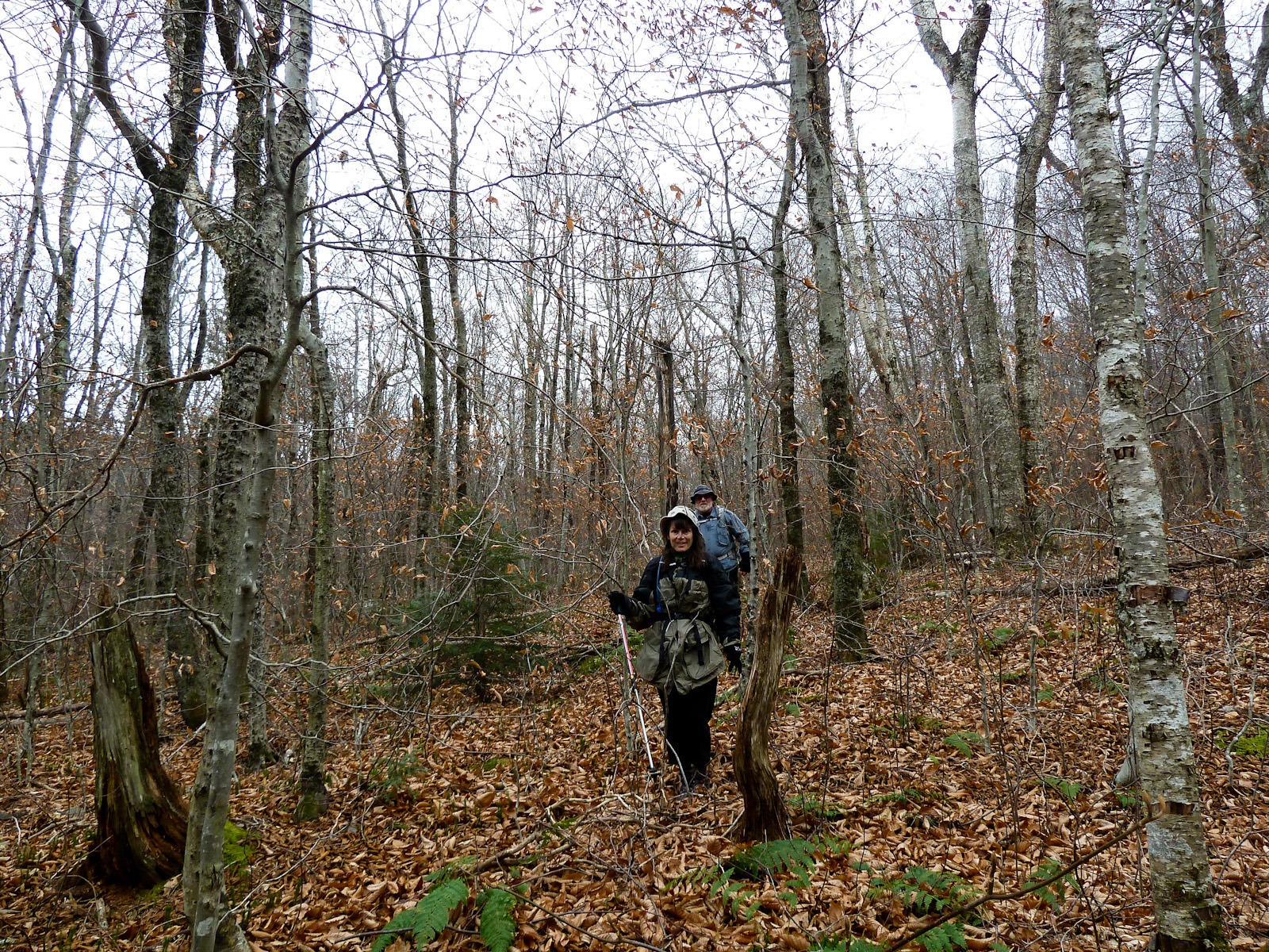
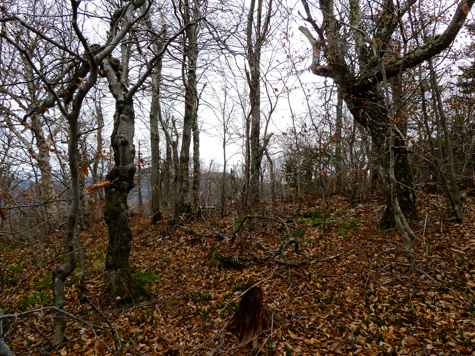
 Almost done with the bushwhack, but had to be careful of the footing here.
Animation of GPS track: https://youtu.be/TZUKAH0ivfs
Rocky and Lone GPS track: Rocky and Lone GPX
That looks great Crom ! I’m hoping it won’t be to cold 12/28 for Doubletop Mt. I’ll bring more of the dried fruit mix …..that was good.